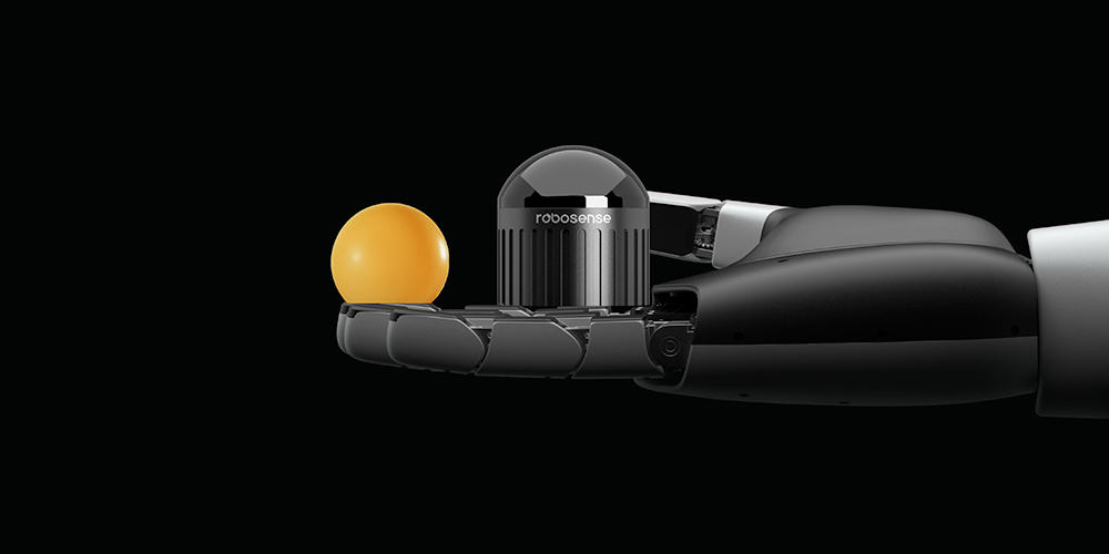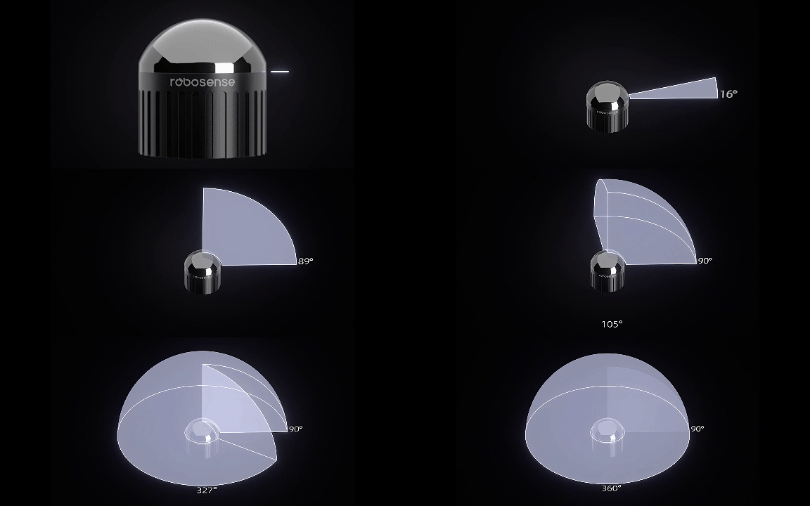
Airy is the first digital hemispherical LiDAR on the R platform, featuring a chip-based transceiver solution and a high-sensitivity digital detection scheme. Compact in size, comparable to a ping-pong ball, it delivers an ultra-wide hemispherical FOV with 360° horizontal and 90° vertical coverage, encompassing a 60-meter radius range. With 1.72 million points per second and ±1cm detection accuracy, Airy provides real-time detection of object size, contour, and distance. Its well-structured, algorithm-friendly point clouds enable exceptional performance in obstacle avoidance, mapping, and navigation tasks.
Airy supports a wide variety of robots operating seamlessly in diverse lighting conditions, enabling all-weather continuous operations and advancing the intelligent application of robots across all scenarios.
360°×90°
Perfect hemispherical FOV±1cm
High precision192-beam
Max number of beamsIMU
Integrated1,720,000 pts/s
High-quality point cloudφ60×H63 (mm)
Mini size30m@10%
Longer range<8W
Low power consumption360°×90°
Perfect hemispherical FOV192-beam
Max number of beams1,720,000 pts/s
High-quality point cloud30m@10%
Longer range±1cm
High precisionIMU
Integratedφ60×H63 (mm)
Mini size<8W
Low power consumption


Airy achieves a groundbreaking 192 beams of resolution, delivering up to 1.72 million points per second with ±1cm detection accuracy. It excels in precisely detecting various dynamic and static small obstacles at both short and long distances. This ensures safe collision avoidance while efficiently completing 3D mapping and accurately reconstructing indoor and outdoor environments such as homes, warehouses, courtyards, and ports.
Airy employs a repetitive scanning approach to generate high-precision, well-structured point cloud images in real time. Its algorithm-friendly design enhances mapping, perception, and sensor fusion capabilities, significantly improving detection performance across diverse application scenarios.

