Hi,您当前浏览器版本过低,可能会影响浏览效果,建议下载使用感更好的浏览器,或者使用360浏览器极速模式浏览!
[Shenzhen, China] – RoboSense LiDAR today released the latest version of the ground truth data system and evaluation tool chain RS-Reference 2.1, used for LiDARs and multi-sensor fusion systems performance evaluation. The original RS-Reference version was launched in the market in 2016, when the automotive-grade MEMS solid-state LiDAR RS-LiDAR-M1 project was established. Used by global OEMs and Tier1s, the system has been continuously improved and upgraded with more efficient and useful evaluation function modules and software tool chains.
While the evaluation function modules can be liked to an exam, the ground truth data is the "answer" for the evaluation of the perception system. Therefore, the accuracy of ground truth data must be significantly higher than the device under test (DuT) in all aspects including detection performance and geometric error.
The ground truth data, usually stored in the PB-Level, includes dynamic information such as obstacle types, speeds, and locations, and static information such as lane lines and road boundaries.
Data labeling quality and data generation efficiency are the key factors to ground truth data.
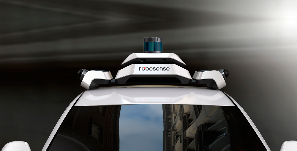
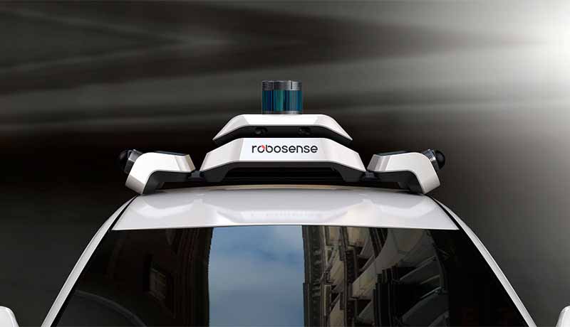
Detached roof-mounted deployment without vehicle body modification: the RS-Reference system adapts to different vehicle sizes, does not occupy the sensor installation position of the DuTs, and directly evaluates the intelligent driving system that is consistent with the sensor sets of commercial vehicles.
Vastly improved/accumulated perception algorithm and offline processing mechanism: The algorithm is key to smart labeling instead of manual labeling, and is responsible for the extraction of ground truth data. The RS-Reference system uses a customized and dedicated offline perception algorithm, which is the product of RoboSense’s 13+ years’ of accumulated experience of LiDAR sensing algorithm technology. It performs a “full life process tracking and identification" for each obstacle data, and extracts all ground truth data from each frame. The RS-Reference system can pick up speed and acceleration labeling, and accurately delineate the size of the labeling frame through comprehensive shape and size information. The system is also capable of accurately dividing obstacles that are in close proximity to each other in complex scenes.
Full-stack evaluation tool chain: it includes data collection tools, sensor calibration tools, visualization tools, manual verification tools, evaluation tools, etc. The 2.1 version upgrades the data management platform and adds the scene semantic labeling function that serves every step of the evaluation process.
Individual sensor evaluation in the multi-sensor fusion system: not only can the RS-Reference system evaluate the result of intelligent driving's perception fusion, but it can also provide targeted solutions based on the features of different types of sensors such as LiDAR, millimeter wave radar, and camera. Dedicated or customized tool modules can be developed according to customer needs for further in-depth analysis of the performance of the sensing system.
There is huge potential in the extended application value of the RS-Reference system. This includes planning and control algorithm development support, which is able to generate massive ground truth data to build simulation scenes, and can evaluate road-side perception systems.
About RoboSense:
Founded in 2014, RoboSense (Suteng Innovation Technology Co., Ltd.) is the leading provider of Smart LiDAR Sensor Systems incorporating LiDAR sensors, AI algorithms and IC chipsets, that transform conventional 3D LiDAR sensors to full data analysis and comprehension systems. The company's mission is to possess outstanding hardware and artificial intelligence capabilities to provide smart solutions that enable robots (including vehicles) to have perception capability more superior to humans.
RoboSense headquarters locates at Shenzhen, attracted an all-star team from leading corporations and institutions around the world to support RoboSense's fast-growing in innovation and development. Until 2019, RoboSense owns more than 500 patents globally. Market-oriented, the company provides customers with various Smart LiDAR perception system solutions, including the MEMS and Mechanical types LiDAR HWs, fusion HW unit, and the AI-based fusion systems.
Garnered the AutoSens Award, Audi Innovation Lab Champion and twice the CES Innovation Award, RoboSense has laid a solid foundation for market success. To date, RoboSense LiDAR systems have been widely applied to the future mobility, including autonomous driving passenger cars, RoboTaxi, RoboTruck, RoboBus, automated logistics vehicles and intelligent road by domestic and international autonomous driving technology companies, OEMs, and Tier1 suppliers. https://robosense.ai/
 service@robosense.cn
 0755-86325830
 46057 Five Mile Rd., Plymouth, MI 48170800 West El Camino Real, Suite 180, Mountain View, California 94040rsi-office@robosense.aiWhistleblower Email:voice@robosense.ai